En
Log in
All resources
Create a design
Tools
7,118 Free Images of Engraved Maps
engraving
grabados
fondo antiguo
cartography
cartografía
chalcography
calcografía
cartografía, mapas | cartography, maps
libros del siglo xviii
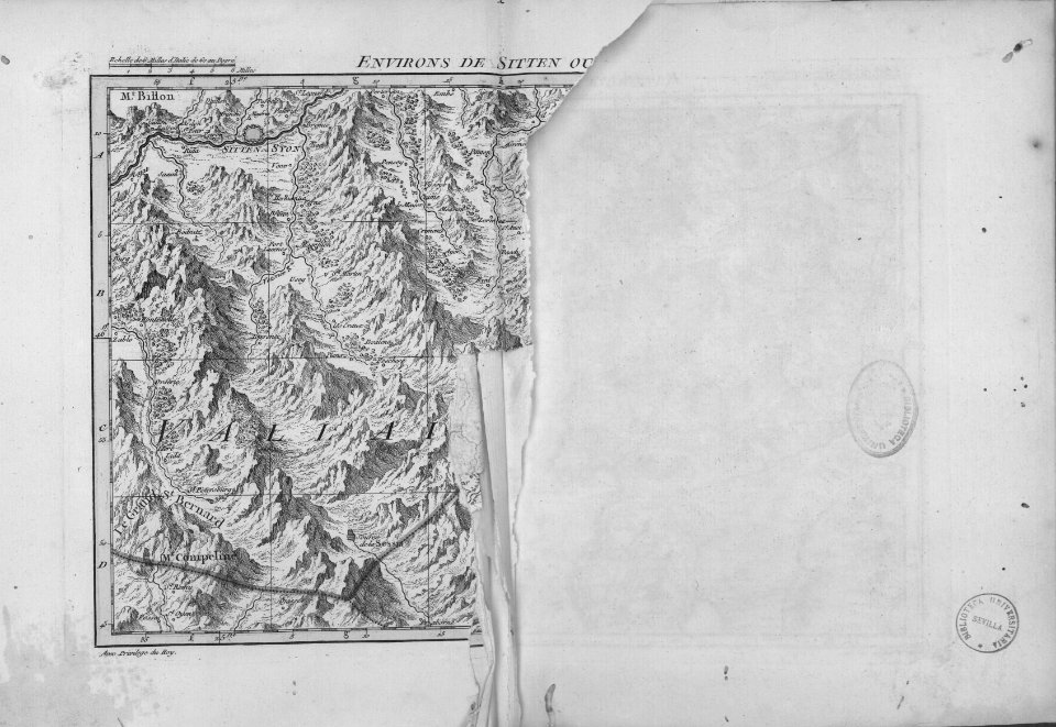
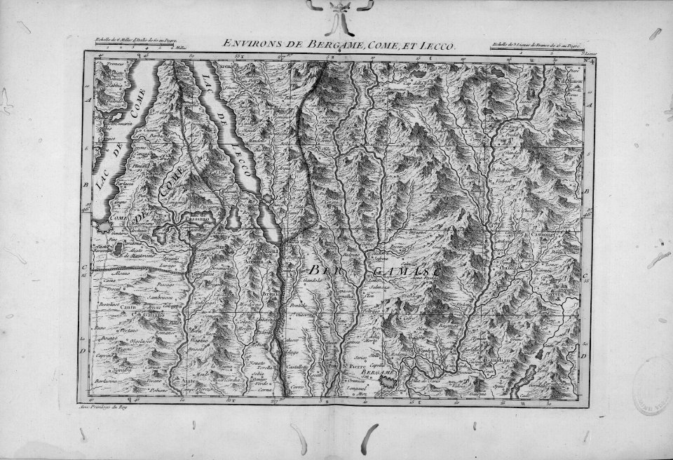
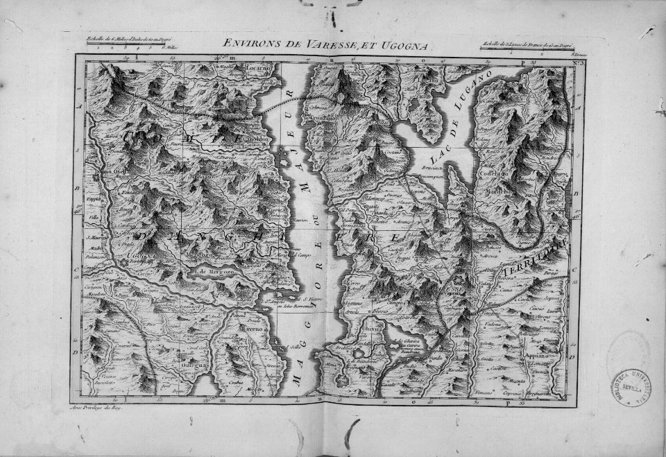
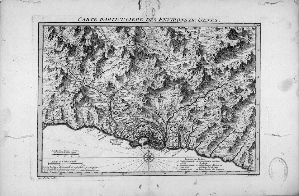
italy
cartography
maps
cartography
maps
cartography
maps
cartography
maps
travel
maps
illustration
maps
illustration
maps
illustration
maps
maps from university of amsterdam special collections
atlas der neederlanden
maps of hann. münden by braun & hogenberg
cartography
maps
cartography
maps
cartography
maps
cartography
maps
cartography
maps
travel
maps
travel
maps
travel
maps
illustration
maps
cartography
maps
cartography
maps
cartography
maps
cartography
maps
cartography
maps
cartography
maps
cartography
maps
cartography
maps
cartography
maps
cartography
maps
old maps of groningen (city)
egbert haubois
fort hill state memorial
squier and davis images
cartography
maps
cartography
maps
cartography
maps
engravings by frans hogenberg
french wars of religion
narrative of a five years' expedition (1806)
romanticism,fairy painting
a voyage to abyssinia, and travels into the interior of that country, executed under the orders of the british government in the years 1809 & 1810
1810 maps of ethiopia
cartography
maps
cartography
maps
cartography
maps
cartography
maps
cartography
maps
cartography
maps
cartography
maps
cartography
maps
cartography
maps
cartography
maps
illustration
maps
illustration
maps
cartography
maps
cartography
maps
cartography
maps
cartography
maps
africa
maps
egypt
maps
cartography
maps
cartography
maps
cartography
maps
cartography
maps
history of westphalia in the lwl-museum für kunst und kultur
maps of arnsberg by braun & hogenberg
atlas maior, vol 2 (sweden, russia, poland, eastern europe, and greece) - joan blaeu, 1667 - bl 114.h(star).2
copper engraving print
sanson maps of the netherlands
robert cordier (engraver)
viage á constantinopla, en el año de 1784 (1790)
18th-century maps of malta
atlas maior, vol 2 (sweden, russia, poland, eastern europe, and greece) - joan blaeu, 1667 - bl 114.h(star).2
copper engraving print
atlas maior, vol 3 (germany) - joan blaeu, 1667 - bl 114.h(star).3
copper engraving print
maps
sea
voyages and travels to india, ceylon, the red sea, abyssinia, and egypt, vol. 3
henry cooper (engraver)
admiranda narratio, fida tamen, de commodis et incolarvm ritibvs virginiae anglico scripta sermone à thoma hariot nvnc avtem primvm latio donata à c.c.a (1608)
theodor de bry
maps made in the 18th century
georg friedrich schmidt
atlas ou representation du monde universel t. 2 (1633)
nicolaes visscher i
maps in the stadsarchief amsterdam
hendrik de leth
africa
maps
maps
war
maps
war
maps
war
maps
war
maps
war
maps
war
maps
war
maps
war
maps
war
maps
war
maps
war
maps
war
maps
war
maps
war
maps
war
maps
war
africa
maps
egypt
maps
cartography
maps
architecture
maps
cartography
maps
cartography
maps
cartography
maps
maps
war
maps
war
maps
war
maps
war
maps
war
5401 - 5500 of 7,118
Next page
/ 72